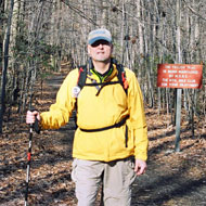
Mar 18, 2007 - 7th Training Hike (Solo)
Patapsco Valley State Park - Daniels
Time of Hike: 9:30 AM
Distance Hiked: 4.5 Miles
Temp During Hike: Low 30.0 �F High 36.0 �F
Elevation Change: 100 Ft
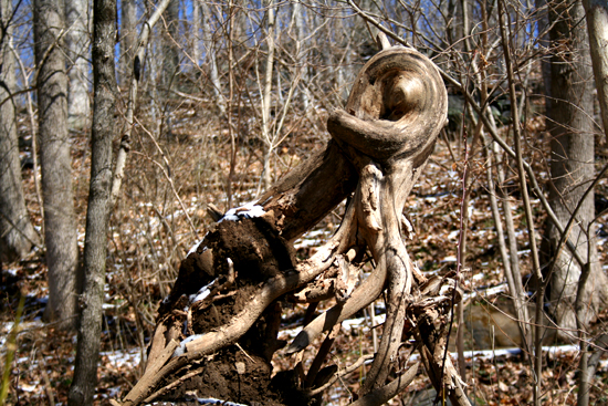
Due to a late winter snow/ice storm, our group hike to Sugarloaf Mountain was postponed and in order to keep in shape I went on another solo hike in Patapsco Valley State Park. I visited the site of the ruined mill town of Daniels which was washed away during the Hurricane Agnes in 1972. Not much remains today but I was able to get some photos for my
Ruins of Patapsco Valley State Park
project.
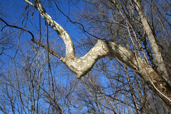
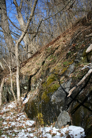
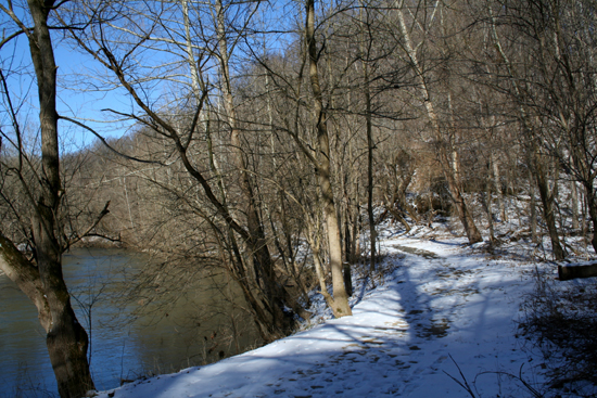
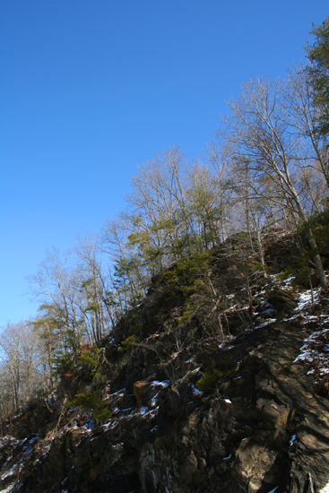
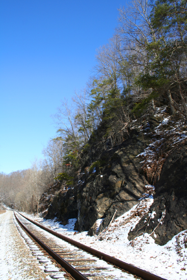
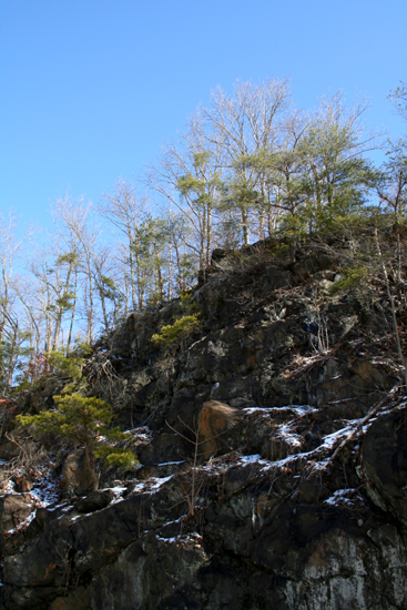
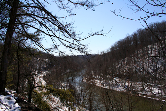
This is one of my favorite areas of the park. The trail begins on what is left of Alberton Road in Baltimore County and continues past Daniels to a dirt trail that leads up onto the hillside for some nice views of the Patapsco River. One popular destination along this trail is the ruins the
St. Stanislaus Kostka Roman Catholic Church.
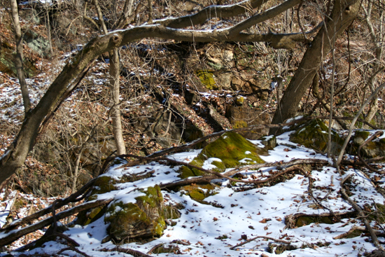
These particular ruins are located just a short hike up the hill from Alberton Road where the stone walls have stood crumbling since it burned in 1926.
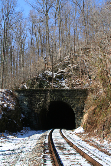
At the far end of my hike was the Dorsey Tunnel. Built in 1906, this tunnel is still active today and you can regularly see trains loaded with coal traveling along the tracks that go through it.
 About Patapsco Valley State Park, MD About Patapsco Valley State Park, MD
Park Headquarters
8020 Baltimore National Pike
Ellicott City, MD 21043
(410) 461-5005
Patapsco Valley State Park extends along 32 miles of the Patapsco River, encompassing 14,000 acres and five developed recreational areas. Recreational opportunities include hiking, fishing, camping, canoeing, horseback and mountain bike trails, as well as picnicking for individuals or large groups in the park's many popular pavilions.
For more information visit:
Photos

|


 Hike For Discovery
 Team In Training - HIKE


 Greg Palmer